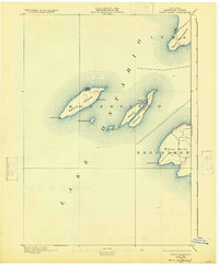
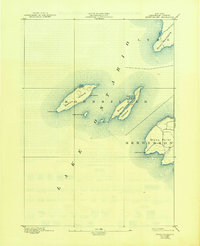
1895 Map of Stony Island
USGS Topo · Published 1925About this map
The eastern reaches of Lake Ontario near the township of Henderson define this 1893 survey. The maritime landscape is dominated by a chain of islands and strategic points essential for late 19th-century navigation. Galloo Island stands as a prominent offshore feature, marked by the Galloo Id. L.H. at its southwestern tip, protecting vessels approaching the Henderson coast. Further east, Stony Island reveals sheltered waters at Dutch John Bay, while the mainland's Stony Point is guarded by its own beacon, the Stony Point L.H. This survey, conducted by W.H. Lovell and the U.S. Lake Survey, captures the isolation and importance of these outposts before the modernization of Great Lakes transit. Smaller landmasses like Calf Id. and Little Galloo Id. dot the passage between the larger islands and Point Peninsula to the north.
Find a feature on this map
13 named features on this map. Tap any name to fly to it.
Don’t see what you’re looking for? This feature index may not catch every label — zoom into the map to look around manually.
Map Details
Editions of this 1895 Stony Island Map
6 editions found
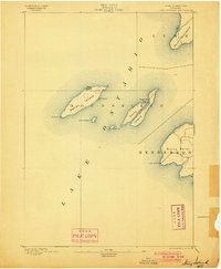
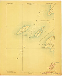
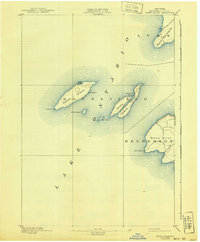
Other maps of this area

1893 · Sackets Harbor
USGS Topo · 1:62,500

1895 · Sacketts Harbor
USGS Topo · 1:62,500

1895 · Stony Island
USGS Topo · 1:62,500

1895 · Pulaski
USGS Topo · 1:62,500

1895 · Cape Vincent
USGS Topo · 1:62,500

1900 · Clayton
USGS Topo · 1:62,500

1903 · Clayton
USGS Topo · 1:62,500

1942 · Stony Point
USGS Topo · 1:31,680

1942 · Henderson Bay
USGS Topo · 1:31,680

1942 · Chaumont
USGS Topo · 1:31,680