
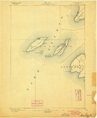
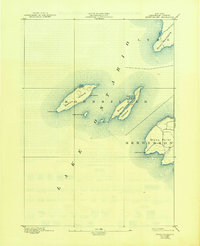
1895 Map of Stony Island
USGS Topo · Published 1895About this map
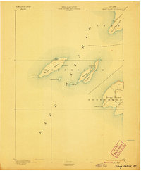
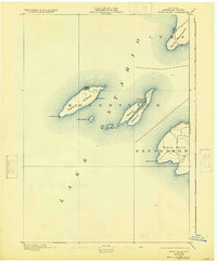
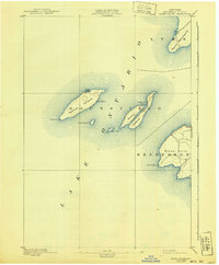
The maritime landscape of eastern Lake Ontario is captured here during the late nineteenth century, focusing on the isolated island chain within the township of Hounsfield. Navigational safety for the era's bustling lake traffic is evidenced by the prominence of the Galloup Id. L.H. and Stony Point L.H. beacons. These islands, including Stony Island and Galloup Island, feature small indentations like Dutch John Bay and Gill Harbor that provided vital shelter for vessels. On the mainland, the map details the rugged shoreline of Henderson near Stony Point, where a sparse road network meets the water's edge. This 1893 survey by W.H. Lovell provides an essential record of these Jefferson County islands before modern development, highlighting the natural geography and light stations that guided mariners into the Saint Lawrence River passage.
Find a feature on this map
15 named features on this map. Tap any name to fly to it.
Don’t see what you’re looking for? This feature index may not catch every label — zoom into the map to look around manually.
Map Details
Editions of this 1895 Stony Island Map
6 editions found
Other maps of this area

1893 · Sackets Harbor
USGS Topo · 1:62,500

1895 · Sacketts Harbor
USGS Topo · 1:62,500

1895 · Pulaski
USGS Topo · 1:62,500

1895 · Cape Vincent
USGS Topo · 1:62,500

1900 · Clayton
USGS Topo · 1:62,500

1903 · Clayton
USGS Topo · 1:62,500

1942 · Stony Point
USGS Topo · 1:31,680

1942 · Henderson Bay
USGS Topo · 1:31,680

1942 · Chaumont
USGS Topo · 1:31,680

1942 · Galloo Island
USGS Topo · 1:31,680