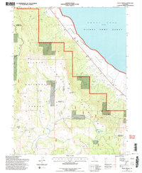
1994 Map of Stony Ridge
USGS Topo · Published 1998About this map
The eastern slopes of the Diamond Mountains descend toward the edge of Honey Lake in this mid-1990s survey. This specific transition between the high forest and the valley floor reveals the extensive reach of the Sierra Army Depot, which occupies the flatlands along the lake's southwestern shoreline. The landscape is deeply carved by drainage systems like Brockman Canyon and Wales Canyon, while the higher elevations are defined by Stony Ridge and Cottonwood Peak. Small-scale agricultural and ranching footprints are visible at Clark Ranch and Ophelia. Notable for genealogists and local historians are the numerous named water sources such as Dinky Spring and Bull Spring, alongside industrial traces like the Quarry near Quarry Creek, illustrating the era's blend of federal military land use and rural resource extraction.
Find a feature on this map
38 named features on this map. Tap any name to fly to it.
Don’t see what you’re looking for? This feature index may not catch every label — zoom into the map to look around manually.
Map Details
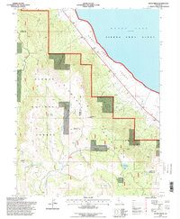
Editions of this 1994 Stony Ridge Map
2 editions found
Other maps of this area

1886 · Honey Lake
USGS Topo · 1:250,000

1891 · Honey Lake
USGS Topo · 1:250,000

1893 · Honey Lake
USGS Topo · 1:250,000

1950 · Kettle Rock
USGS Topo · 1:62,500

1950 · Milford
USGS Topo · 1:62,500

1954 · Susanville
USGS Topo · 1:62,500

1954 · Litchfield
USGS Topo · 1:62,500

1955 · Westwood
USGS Topo · 1:250,000

1958 · Westwood
USGS Topo · 1:250,000

1959 · Westwood
USGS Topo · 1:250,000