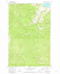
1968 Map of Stormy Mtn.
USGS Topo · Published 1981About this map
Chelan Mountains dominate this landscape within the Wenatchee National Forest, where steep ridgelines descend toward the southern shore of Lake Chelan. The map documents a network of primitive access routes, including the Shady Pass Road and various Jeep Trails and Pack Trails that connect remote outposts like the Twentyfive Mile Creek Guard Station. Significant peaks such as Stormy Mtn, Lone Peak, and Pot Peak define the high country, while recreational development is noted at the Grouse Mtn Campground and Ramona Park Campground. Historical resource extraction is evidenced by a Mine located near the headwaters of Darby Draw and a Quarry in the southeastern corner. The map also traces the drainage patterns of Twentyfive Mile Creek and First Creek, providing a detailed look at the hydrology of the Chelan range during the late 1960s.
Find a feature on this map
35 named features on this map. Tap any name to fly to it.
Don’t see what you’re looking for? This feature index may not catch every label — zoom into the map to look around manually.
Map Details
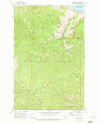
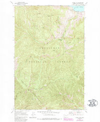
Editions of this 1968 Stormy Mtn. Map
3 editions found
Other maps of this area

1899 · Methow
USGS Topo · 1:125,000

1901 · Chelan
USGS Topo · 1:125,000

1901 · Methow
USGS Topo · 1:125,000

1955 · Concrete
USGS Topo · 1:250,000

1957 · Wenatchee
USGS Topo · 1:250,000

1958 · Concrete
USGS Topo · 1:250,000

1962 · Concrete
USGS Topo · 1:250,000

1968 · South Navarre Peak
USGS Topo · 1:24,000
1968 · Big Goat Mtn
USGS Topo · 1:24,000

1968 · Tyee Mtn.
USGS Topo · 1:24,000