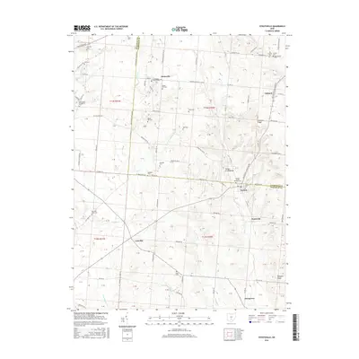
2016 Map of Stoutsville
USGS Topo · Published 2016About this map
Tarlton Cross Mound serves as a prominent archaeological landmark on this landscape, situated near the intersection of Fairfield Co and Pickaway Co. The surrounding area is defined by a high concentration of local burial grounds, ranging from family-named sites like Spengler Cem and Dresbach Cem to church-affiliated plots such as Heidelberg Reform Cem and Saint Pauls Evangelical Cem. These features reflect a deeply rooted agricultural community organized around small settlements like Stoutsville, Tarlton, and Leistville.
Find a feature on this map
92 named features on this map. Tap any name to fly to it.
Don’t see what you’re looking for? This feature index may not catch every label — zoom into the map to look around manually.
Map Details
Editions of this 2016 Stoutsville Map
This is the sole edition of this map. No revisions or reprints were ever made.
Other maps of this area

1906 · Chillicothe
USGS Topo · 1:62,500

1907 · Lancaster
USGS Topo · 1:62,500

1908 · Chillicothe
USGS Topo · 1:62,500

1909 · Lancaster
USGS Topo · 1:62,500

1910 · Laurelville
USGS Topo · 1:62,500

1912 · Laurelville
USGS Topo · 1:62,500

1914 · Circleville
USGS Topo · 1:62,500

1943 · Circleville
USGS Topo · 1:62,500

1944 · Laurelville
USGS Topo · 1:62,500

1947 · Columbus
USGS Topo · 1:250,000