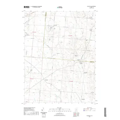
2019 Map of Stoutsville
USGS Topo · Published 2019About this map
Stoutsville and the surrounding agricultural lands of the Fairfield and Pickaway county line are documented here in detail. The landscape is defined by the drainage of Scippo Cr and Salt Cr, where the topography transitions into the elevations of Chestnut Ridge and Pumpkin Ridge. This area is particularly notable for its concentration of early burial grounds and religious sites, such as the Saint Pauls Evangelical Cem and the Heidelberg Reform Cem. A significant archaeological landmark, the Tarlton Cross Mound, sits near the village of Tarlton, signifying the long-standing human presence in this valley. The map also records the rural infrastructure of the early 21st century, including the Winchester Southern Rd and various township routes that connect smaller settlements like Leistville and Huntsville to the larger market centers.
Find a feature on this map
92 named features on this map. Tap any name to fly to it.
Don’t see what you’re looking for? This feature index may not catch every label — zoom into the map to look around manually.
Map Details
Editions of this 2019 Stoutsville Map
This is the sole edition of this map. No revisions or reprints were ever made.
Other maps of this area

1906 · Chillicothe
USGS Topo · 1:62,500

1907 · Lancaster
USGS Topo · 1:62,500

1908 · Chillicothe
USGS Topo · 1:62,500

1909 · Lancaster
USGS Topo · 1:62,500

1910 · Laurelville
USGS Topo · 1:62,500

1912 · Laurelville
USGS Topo · 1:62,500

1914 · Circleville
USGS Topo · 1:62,500

1943 · Circleville
USGS Topo · 1:62,500

1944 · Laurelville
USGS Topo · 1:62,500

1947 · Columbus
USGS Topo · 1:250,000