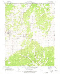
1961 Map of Stover
USGS Topo · Published 1975About this map
Stover serves as the central hub of this Missouri landscape, situated within the Haw Creek township during the early 1960s. The town's grid is anchored by the Chicago Rock Island and Pacific railroad, which cuts a sharp east-west line across the terrain. This corridor historically supported local commerce and industry, evidenced by the presence of the Gabriel Mine to the north and the Wolf Den Mine further south near Flag Branch. The topography is defined by the winding paths of Richland Creek and its tributaries, where the land drops toward natural landmarks like Spears Cave and the waters of Crystal Lake. Numerous rural burial grounds, including the Bethlehem Ch Cem and Hinken Cem, are scattered across the quadrangle, reflecting the established family settlements and church communities like Mt Nebo Ch that populated this part of Morgan County.
Find a feature on this map
22 named features on this map. Tap any name to fly to it.
Don’t see what you’re looking for? This feature index may not catch every label — zoom into the map to look around manually.
Map Details
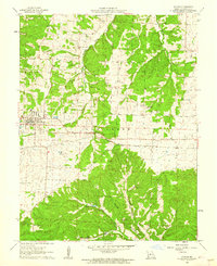
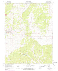
Editions of this 1961 Stover Map
3 editions found
Other maps of this area

1887 · Sedalia
USGS Topo · 1:125,000

1887 · Warsaw
USGS Topo · 1:125,000

1888 · Versailles
USGS Topo · 1:125,000

1888 · Boonville
USGS Topo · 1:125,000

1893 · Versailles
USGS Topo · 1:125,000

1894 · Warsaw
USGS Topo · 1:125,000

1894 · Sedalia
USGS Topo · 1:125,000

1904 · Gravois Mills
USGS Topo · 1:62,500

1935 · Gravois Mills
USGS Topo · 1:24,000

1935 · Proctor Creek
USGS Topo · 1:24,000