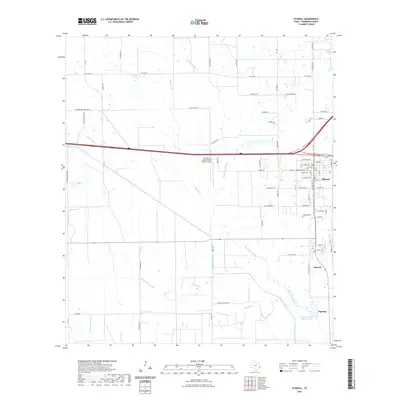
Loading...
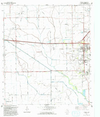
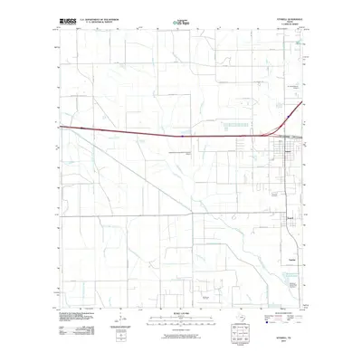
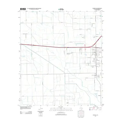
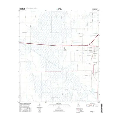
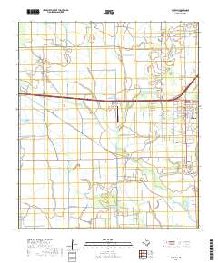
Loading map...1962 Map of Stowell
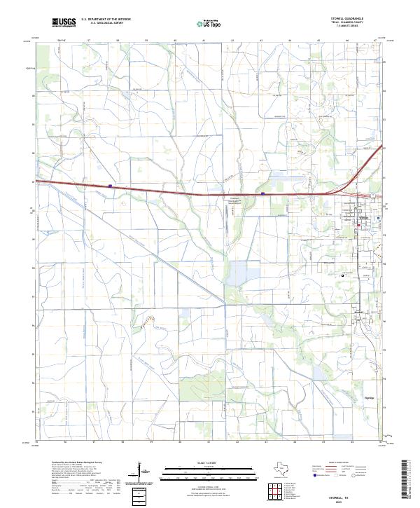
USGS Topo · Published 1976About this map
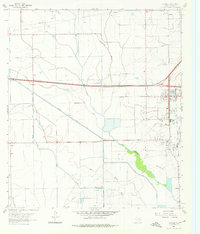
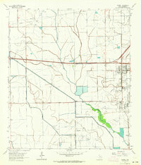
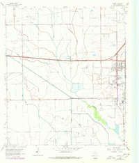
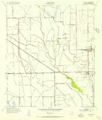
The coastal prairie of the Texas-Chambers Co. line is defined here by an intricate network of irrigation and industry. Winnie and Stowell serve as the primary hubs, where the Gulf Colorado and Santa Fe railroad runs alongside Grain Elevators, reflecting the region’s agricultural foundations. The landscape is heavily modified by water management systems like the Devers Canal, Rush Ditch, and Main Canal, which cut through the level terrain to support local production.
Find a feature on this map
32 named features on this map. Tap any name to fly to it.
Don’t see what you’re looking for? This feature index may not catch every label — zoom into the map to look around manually.
Map Details
Date Portrayed1962
Date Published1976
PublisherU.S. Geological Survey
Map TypeTopographic
Scale1:24,000
Physical Dimensions23 x 26.9 inches
Editions of this 1962 Stowell Map
3 editions found
Historical Maps of Winnie Through Time
9 maps found
Featured Locations
Source Details
SourceU.S. Geological Survey
CopyrightPublic Domain