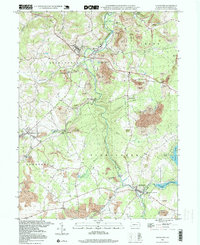
1994 Map of Stoystown
USGS Topo · Published 1999About this map
Stonycreek River winds through the heart of Somerset County, defining a landscape marked by centuries of extraction and community growth. By the mid-1990s, the terrain around Stoystown and Shanksville reveals a transition from active coal mining to land reclamation, with numerous sites identified as Reclaimed Strip Mines appearing alongside established settlements. This topographic record illustrates how the local economy shaped the earth, leaving behind a network of small hamlets like Kantner, Lambertsville, and Kimmelton connected by rural roads and bridges.
Find a feature on this map
37 named features on this map. Tap any name to fly to it.
Don’t see what you’re looking for? This feature index may not catch every label — zoom into the map to look around manually.
Map Details
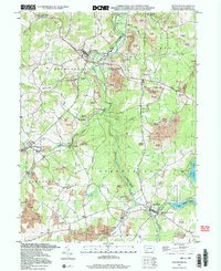
Editions of this 1994 Stoystown Map
2 editions found
Other maps of this area

1913 · Somerset
USGS Topo · 1:62,500

1914 · Windber
USGS Topo · 1:62,500

1915 · Somerset
USGS Topo · 1:62,500

1916 · Windber
USGS Topo · 1:62,500

1921 · Meyersdale
USGS Topo · 1:62,500

1923 · Berlin
USGS Topo · 1:48,000

1929 · Berlin
USGS Topo · 1:62,500

1939 · Meyersdale
USGS Topo · 1:62,500

1944 · Somerset
USGS Topo · 1:62,500

1944 · Windber
USGS Topo · 1:62,500