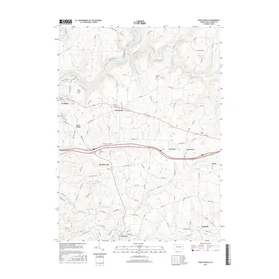
2016 Map of Strattanville
USGS Topo · Published 2016About this map
Clarion River winds through the northern reaches of this landscape, providing a sharp topographic contrast to the upland plateaus where Clarion and Strattanville are situated. The 2016 data reveals a transition from the institutional grounds of Clarion Univ of Pennsylvania and the aviation activity at Parker-Cramer Airport to the agricultural and rural stretches of southern Clarion County. Local history is anchored by several burial sites, including Old Seceder Cem near Brush Run and Asbury Cem further east.
Find a feature on this map
98 named features on this map. Tap any name to fly to it.
Don’t see what you’re looking for? This feature index may not catch every label — zoom into the map to look around manually.
Map Details
Editions of this 2016 Strattanville Map
This is the sole edition of this map. No revisions or reprints were ever made.
Other maps of this area

1906 · Clarion
USGS Topo · 1:62,500

1907 · Clarion
USGS Topo · 1:62,500

1918 · Loleta
USGS Topo · 1:62,500

1922 · Tionesta
USGS Topo · 1:62,500

1924 · Tionesta
USGS Topo · 1:62,500

1924 · Brookville
USGS Topo · 1:62,500

1926 · Brookville
USGS Topo · 1:62,500

1936 · Marienville
USGS Topo · 1:48,000

1941 · Marienville
USGS Topo · 1:62,500

1944 · Brookville
USGS Topo · 1:62,500