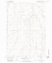
1968 Map of Strawberry Canyon SW
USGS Topo · Published 1983About this map
McDaid Springs (Site) and Strawberry (Site) anchor this high-desert landscape in Morrow County, marking the locations of former settlements amidst a network of deep drainage systems. The terrain is defined by the convergence of Strawberry Canyon and Juniper Canyon, which cut through the plateau along with Little Juniper Canyon to the north. These natural corridors dictated the paths of early travel, as seen in the routes of Strawberry Road and Juniper Road.
Find a feature on this map
28 named features on this map. Tap any name to fly to it.
Don’t see what you’re looking for? This feature index may not catch every label — zoom into the map to look around manually.
Map Details
Editions of this 1968 Strawberry Canyon SW Map
2 editions found
Other maps of this area

1906 · Blalock Island
USGS Topo · 1:125,000

1908 · Blalock Island
USGS Topo · 1:125,000

1953 · Pendleton
USGS Topo · 1:250,000

1956 · Pendleton
USGS Topo · 1:250,000

1968 · Swaggart Buttes
USGS Topo · 1:24,000

1968 · Lexington
USGS Topo · 1:24,000

1968 · Ione North
USGS Topo · 1:24,000

1968 · Ione South
USGS Topo · 1:24,000
1968 · Strawberry Canyon NE
USGS Topo · 1:24,000
1968 · Strawberry Canyon SE
USGS Topo · 1:24,000