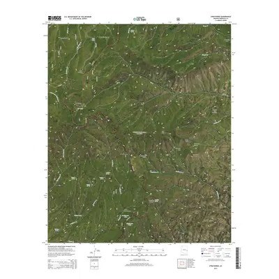
2014 Map of Strayhorse
USGS Topo · Published 2014About this map
Strayhorse serves as a central reference point in this high-altitude landscape of the Apache National Forest. The geography is defined by a series of high-elevation marshes or cienegas, including Butterfly Cienega, Cache Cienega, and KP Cienega, which suggest a unique hydrological pattern in an otherwise steep terrain. The winding path of US Hwy 191 navigates the complex topography, providing a lifeline through a region marked by prominent landmarks such as Blue Peak, Raspberry Peak, and the distinctively named Sawed Off Mountain. Water sources like Aker Lake, Rattlesnake Lake, and several tanks and springs indicate the critical importance of water management for livestock or forestry in these forest allotments. The map also captures several deep drainage systems, including Grapevine Canyon and Tornado Canyon, which break the plateaus near Crooks Mesa.
Find a feature on this map
47 named features on this map. Tap any name to fly to it.
Don’t see what you’re looking for? This feature index may not catch every label — zoom into the map to look around manually.
Map Details
Editions of this 2014 Strayhorse Map
This is the sole edition of this map. No revisions or reprints were ever made.
Other maps of this area

1913 · Morenci
USGS Topo · 1:125,000

1915 · Morenci
USGS Topo · 1:125,000

1922 · Nutrioso
USGS Topo · 1:125,000

1954 · Clifton
USGS Topo · 1:250,000

1957 · Clifton
USGS Topo · 1:250,000

1958 · Clifton
USGS Topo · 1:250,000

1958 · Hannagan Meadow
USGS Topo · 1:62,500

1961 · Blue
USGS Topo · 1:62,500

1962 · Clifton
USGS Topo · 1:250,000

1967 · Robinson Mesa
USGS Topo · 1:24,000