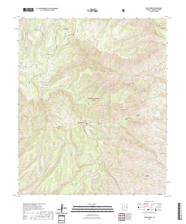
2021 Map of Strayhorse
USGS Topo · Published 2021About this map
Strayhorse occupies a central position within this portion of the Apache National Forest, situated among a complex network of high-elevation drainages and ridges. The landscape is defined by its numerous cienegas—alkaline marshes or wet meadows—such as Butterfly Cienega, Cache Cienega, and KP Cienega, which serve as critical water sources in this arid environment. Significant topographic markers include Sawed Off Mtn and Raspberry Peak, while Moonshine Park and Indian Peak provide further orientation in the backcountry.
Find a feature on this map
62 named features on this map. Tap any name to fly to it.
Don’t see what you’re looking for? This feature index may not catch every label — zoom into the map to look around manually.
Map Details
Editions of this 2021 Strayhorse Map
This is the sole edition of this map. No revisions or reprints were ever made.
Other maps of this area

1913 · Morenci
USGS Topo · 1:125,000

1915 · Morenci
USGS Topo · 1:125,000

1922 · Nutrioso
USGS Topo · 1:125,000

1954 · Clifton
USGS Topo · 1:250,000

1957 · Clifton
USGS Topo · 1:250,000

1958 · Clifton
USGS Topo · 1:250,000

1958 · Hannagan Meadow
USGS Topo · 1:62,500

1961 · Blue
USGS Topo · 1:62,500

1962 · Clifton
USGS Topo · 1:250,000

1967 · Robinson Mesa
USGS Topo · 1:24,000