Loading...
Loading map...1961 Map of Streamwood
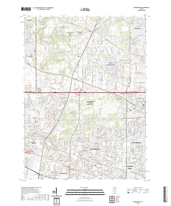
USGS Topo · Published 1981About this map
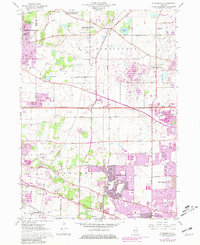
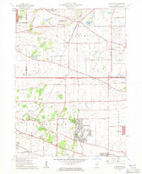
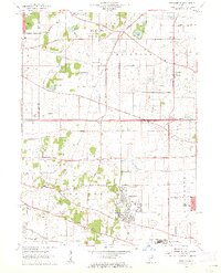
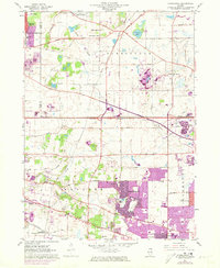
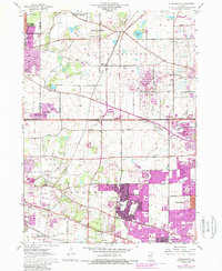
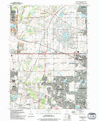
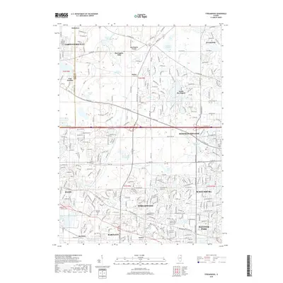
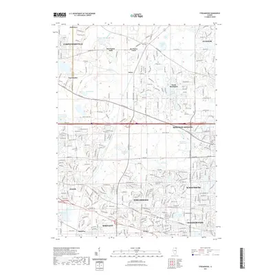
Streamwood and the surrounding townships of Barrington, Hanover, and Schaumburg are shown here during a period of rapid suburbanization. While the northern reaches maintain an estate character with the Spring Creek Valley Forest Preserve and names like Barrington Hills, the southern half reflects mid-century expansion. Purple revisions reveal the accelerating footprint of housing developments around Hanover Park and Schaumburg, contrasting with the established grid of Elgin on the western edge.
Find a feature on this map
55 named features on this map. Tap any name to fly to it.
Don’t see what you’re looking for? This feature index may not catch every label — zoom into the map to look around manually.
Map Details
Date Portrayed1961
Date Published1981
PublisherU.S. Geological Survey
Map TypeTopographic
Scale1:24,000
Physical Dimensions22 x 26.9 inches
Editions of this 1961 Streamwood Map
5 editions found
Historical Maps of Elgin Through Time
7 maps found
Featured Locations
Source Details
SourceU.S. Geological Survey
CopyrightPublic Domain