
1961 Map of Streamwood
USGS Topo · Published 1962About this map
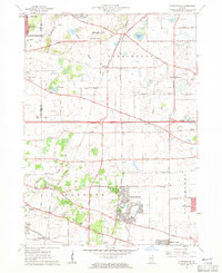
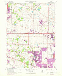
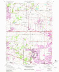
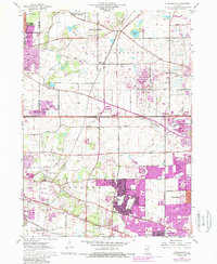
Streamwood and its surroundings in the early 1960s reveal a landscape transitioning from rural agricultural blocks to suburban residential clusters. The expansion of Hanover Park and the developing street grids near the Sewage Disposal plant reflect the post-war suburban boom in Cook County. While new residential tracts appear, the map remains anchored by older rural features, including the Union Cem and the Lake Street Memorial Park (Cemetery). Large sections of open space are preserved in the Spring Creek Valley Forest Preserve, while the area's natural drainage is defined by Poplar Creek and Eastern Creek. Cultural landmarks such as the Drive-in Theater near Beverly Lake and the New Era Sch mark the social centers of this era. Heavy industry and resource extraction are also evident via numerous Gravel Pits and a Strip Mine near Spaulding.
Find a feature on this map
60 named features on this map. Tap any name to fly to it.
Don’t see what you’re looking for? This feature index may not catch every label — zoom into the map to look around manually.
Map Details
Editions of this 1961 Streamwood Map
5 editions found
Other maps of this area

1908 · Wheaton
USGS Topo · 1:62,500

1923 · Barrington
USGS Topo · 1:62,500

1925 · Elgin
USGS Topo · 1:62,500

1932 · Geneva
USGS Topo · 1:62,500

1935 · Barrington
USGS Topo · 1:62,500

1940 · Elgin
USGS Topo · 1:62,500

1948 · Wheaton
USGS Topo · 1:62,500

1948 · Geneva
USGS Topo · 1:62,500

1949 · Geneva
USGS Topo · 1:24,000

1953 · West Chicago
USGS Topo · 1:24,000