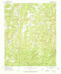
1970 Map of Strickler
USGS Topo · Published 1972About this map
Strickler sits at the heart of this topographic study, positioned within the high relief of the Boston Mountains. The landscape is defined by the headwaters of several key drainages, including Cove Creek and the southern reaches of the Illinois River. In the early 1970s, the area retained a deeply rural character, marked by a high density of small family cemeteries and country churches that speak to the long-standing settlement of these uplands. These include the Scott Cem, Morrow Cem, and Baker Cem, alongside community centers like the Bee Scuffle Ch.
Find a feature on this map
31 named features on this map. Tap any name to fly to it.
Don’t see what you’re looking for? This feature index may not catch every label — zoom into the map to look around manually.
Map Details
Editions of this 1970 Strickler Map
4 editions found
Other maps of this area

1898 · Winslow #4
USGS Topo · 1:62,500

1898 · Winslow #3
USGS Topo · 1:62,500

1898 · Winslow
USGS Topo · 1:125,000

1901 · Winslow
USGS Topo · 1:125,000

1946 · Fort Smith
USGS Topo · 1:250,000

1965 · Fort Smith
USGS Topo · 1:250,000

1967 · Fort Smith
USGS Topo · 1:250,000

1969 · Natural Dam
USGS Topo · 1:24,000
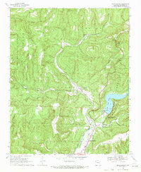
1969 · Mountainburg
USGS Topo · 1:24,000
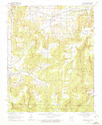
1970 · Evansville
USGS Topo · 1:24,000