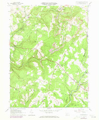
1961 Map of Strongstown
USGS Topo · Published 1973About this map
Strongstown sits at the center of this 1961 survey, where the rural character of Indiana County is shaped by a legacy of resource extraction and community faith. Numerous country churches like Spruce Grove Ch and St Patricks Ch serve as local landmarks alongside smaller settlements such as Heilwood and Pineton. The landscape reveals the industrial footprint of the era, marked by an Old Railroad Grade and active Mines, including a visible Strip Mine and Mine Dump in the northern hills. Along the southern border, State Game Lands No 79 provides a preserved wooded contrast to the Gas Wells and pipelines that traverse the township. The drainage network, featuring Yellow Creek and Blacklick Creek, once supported local industry at places like Red Mill and Ewings Mill, while White Mill Crossing marks an old point of transit.
Find a feature on this map
49 named features on this map. Tap any name to fly to it.
Don’t see what you’re looking for? This feature index may not catch every label — zoom into the map to look around manually.
Map Details
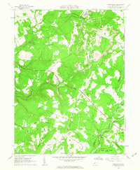
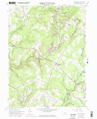
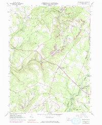
Editions of this 1961 Strongstown Map
4 editions found
Other maps of this area

1902 · Indiana
USGS Topo · 1:62,500

1902 · Barnesboro
USGS Topo · 1:62,500

1904 · Barnesboro
USGS Topo · 1:62,500

1904 · Johnstown
USGS Topo · 1:62,500

1907 · Johnstown
USGS Topo · 1:62,500

1920 · New Florence
USGS Topo · 1:62,500

1921 · New Florence
USGS Topo · 1:48,000

1922 · New Florence
USGS Topo · 1:62,500

1943 · Punxsutawney
USGS Topo · 1:125,000

1944 · New Florence
USGS Topo · 1:62,500
Featured Places
- Brush Valley Township, PA
- Ewings Mill, Cherryhill Township
- Strongstown, Pine Township
- Cherryhill Township, PA
- Blacklick Township, PA