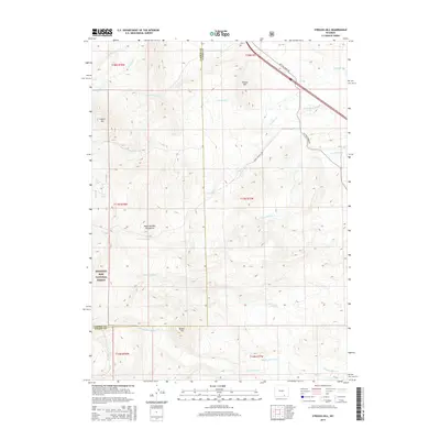
2015 Map of Strouss Hill
USGS Topo · Published 2015About this map
Medicine Bow Mountains define the high-elevation terrain of this region along the border of Carbon and Albany Counties. Part of the Medicine Bow National Forest, the landscape is a network of named peaks and drainage basins. Strouss Hill and Coyote Hill rise above a series of creeks that flow eastward, including Fourmile Cr, Onemile Cr, and Sevenmile Cr.
Find a feature on this map
27 named features on this map. Tap any name to fly to it.
Don’t see what you’re looking for? This feature index may not catch every label — zoom into the map to look around manually.
Map Details
Editions of this 2015 Strouss Hill Map
This is the sole edition of this map. No revisions or reprints were ever made.
Other maps of this area

1895 · Laramie
USGS Topo · 1:125,000

1902 · Laramie
USGS Topo · 1:125,000

1905 · Laramie
USGS Topo · 1:125,000

1906 · Medicine Bow
USGS Topo · 1:125,000

1906 · Laramie
USGS Topo · 1:125,000

1908 · Laramie
USGS Topo · 1:125,000

1908 · Medicine Bow
USGS Topo · 1:125,000

1954 · Cheyenne
USGS Topo · 1:250,000

1954 · Rawlins
USGS Topo · 1:250,000

1955 · Big Judson
USGS Topo · 1:24,000