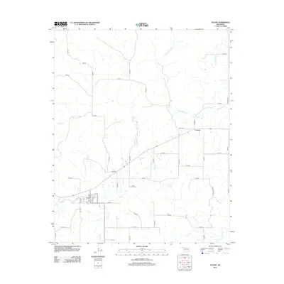
2012 Map of Stuart
USGS Topo · Published 2012About this map
The town of Stuart serves as the primary hub in this Hughes County landscape, where the grid of the town site meets a dense network of sectional roads and rural watercourses. The local geography is defined by the drainage basins of Big Wildhorse Cr and Coal Cr, which weave between agricultural tracts. For those researching local family history, several smaller landmarks provide specific points of interest, including the White Chimney Cem and Pryor Cem. To the northeast, the small community of Cabaniss sits near the intersection of Scipio Rd and E1430 Rd. The map illustrates a developed rural infrastructure, where named routes like Double Springs Rd and Cabiness Rd connect scattered homesteads to the municipal center of Stuart.
Find a feature on this map
51 named features on this map. Tap any name to fly to it.
Don’t see what you’re looking for? This feature index may not catch every label — zoom into the map to look around manually.
Map Details
Editions of this 2012 Stuart Map
This is the sole edition of this map. No revisions or reprints were ever made.
Other maps of this area

1896 · Coalgate
USGS Topo · 1:125,000

1898 · McAlester
USGS Topo · 1:125,000

1899 · Coalgate
USGS Topo · 1:125,000

1900 · Canadian
USGS Topo · 1:125,000

1900 · Wewoka
USGS Topo · 1:125,000

1900 · Coalgate
USGS Topo · 1:125,000

1909 · Mc Alester
USGS Topo · 1:125,000

1946 · Fort Smith
USGS Topo · 1:250,000

1950 · Mcalester
USGS Topo · 1:250,000

1954 · Oklahoma City
USGS Topo · 1:250,000