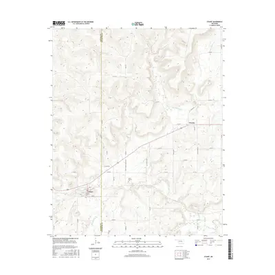
2016 Map of Stuart
USGS Topo · Published 2016About this map
The town of Stuart sits at the southwestern edge of this landscape, where the local street grid of 6th St and Grand Ave meets the rural expanse of Hughes and Pittsburg counties. This area is defined by a dense network of drainage systems, including the southward-flowing Sandy Cr and the meandering Coal Creek. Settlement patterns are largely dictated by the terrain, with roads like White Chimney Rd and Cabiness Rd following the higher ground between creek beds. In the eastern portion of the map, the small community of Cabaniss serves as a secondary focal point. For those tracing family history in this part of Oklahoma, the presence of White Chimney Cem and Pryor Cem provides specific points of interest within the rural township structure. The topography consists of numerous small ridges and valleys, illustrating the transition from the upland prairies to the creek-fed bottomlands.
Find a feature on this map
44 named features on this map. Tap any name to fly to it.
Don’t see what you’re looking for? This feature index may not catch every label — zoom into the map to look around manually.
Map Details
Editions of this 2016 Stuart Map
This is the sole edition of this map. No revisions or reprints were ever made.
Other maps of this area
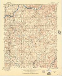
1896 · Coalgate
USGS Topo · 1:125,000
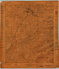
1898 · McAlester
USGS Topo · 1:125,000
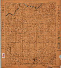
1899 · Coalgate
USGS Topo · 1:125,000
1900 · Canadian
USGS Topo · 1:125,000
1900 · Wewoka
USGS Topo · 1:125,000
1900 · Coalgate
USGS Topo · 1:125,000
1909 · Mc Alester
USGS Topo · 1:125,000
1946 · Fort Smith
USGS Topo · 1:250,000
1950 · Mcalester
USGS Topo · 1:250,000
1954 · Oklahoma City
USGS Topo · 1:250,000