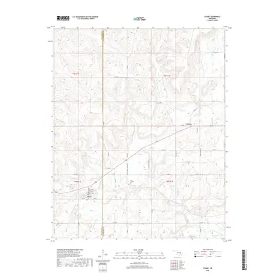
2018 Map of Stuart
USGS Topo · Published 2018About this map
The town of Stuart sits near the western edge of this 2018 survey, centered on a grid of numbered streets from 4th St to 9th St. This area of Oklahoma straddles the Hughes Co Pittsburg Co line, characterized by a complex network of creeks that define the landscape's drainage. Tributaries like Coal Cr and Sandy Cr wind through the hills, eventually meeting larger systems such as Big Wildhorse Cr in the north.
Find a feature on this map
53 named features on this map. Tap any name to fly to it.
Don’t see what you’re looking for? This feature index may not catch every label — zoom into the map to look around manually.
Map Details
Editions of this 2018 Stuart Map
This is the sole edition of this map. No revisions or reprints were ever made.
Other maps of this area
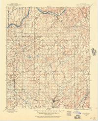
1896 · Coalgate
USGS Topo · 1:125,000
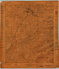
1898 · McAlester
USGS Topo · 1:125,000
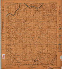
1899 · Coalgate
USGS Topo · 1:125,000
1900 · Canadian
USGS Topo · 1:125,000
1900 · Wewoka
USGS Topo · 1:125,000
1900 · Coalgate
USGS Topo · 1:125,000
1909 · Mc Alester
USGS Topo · 1:125,000
1946 · Fort Smith
USGS Topo · 1:250,000
1950 · Mcalester
USGS Topo · 1:250,000
1954 · Oklahoma City
USGS Topo · 1:250,000