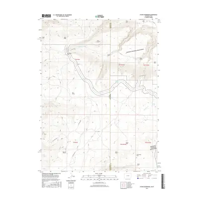
2016 Map of Stuntz Reservoir
USGS Topo · Published 2016About this map
Dinosaur National Mounument dominates the high-desert landscape across the border of Uintah and Moffat Counties, where the high plateaus of eastern Utah meet western Colorado. This 2016 survey highlights a region of significant elevation changes, from the heights of Ruple Point and Blue Mtn Plateau down into the intricate drainages of Moonshine Draw and Sand Canyon.
Find a feature on this map
35 named features on this map. Tap any name to fly to it.
Don’t see what you’re looking for? This feature index may not catch every label — zoom into the map to look around manually.
Map Details
Editions of this 2016 Stuntz Reservoir Map
This is the sole edition of this map. No revisions or reprints were ever made.
Other maps of this area
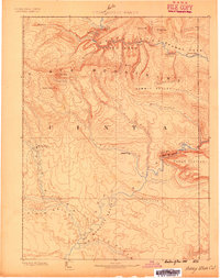
1885 · Ashley
USGS Topo · 1:250,000
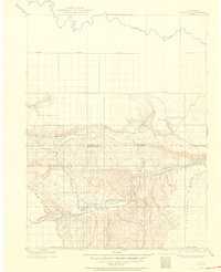
1907 · Rangely
USGS Topo · 1:125,000
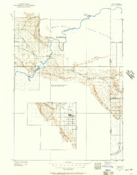
1907 · Jensen
USGS Topo · 1:125,000
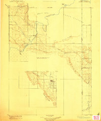
1910 · Jensen
USGS Topo · 1:125,000
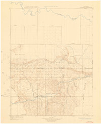
1910 · Rangely
USGS Topo · 1:125,000
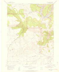
1954 · Hells Canyon
USGS Topo · 1:24,000
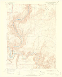
1954 · Canyon of Lodore South
USGS Topo · 1:24,000

1954 · Vernal
USGS Topo · 1:250,000
1955 · Island Park
USGS Topo · 1:24,000
1955 · Stuntz Reservoir
USGS Topo · 1:24,000