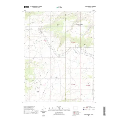
2019 Map of Stuntz Reservoir
USGS Topo · Published 2019About this map
Dinosaur National Monument dominates the high desert landscape of this northeastern Utah region, where the state line meets Colorado. The terrain is characterized by the massive uplift of the Blue Mountain Plateau and the deeply incised drainages of Daniels Canyon and Stuntz Draw. This 2019 survey documents a network of primitive access points and recreational paths, including the Ruple Point Trail and the Rock Quarry Loop near The V. The geography here is defined by sharp elevation changes, from the heights of Ruple Point and Vivas Cake Hill down to the intermittent waters of Cottonwood Cr. The map captures the complex boundary between Uintah County and Moffat County, illustrating the isolated character of these protected canyonlands.
Find a feature on this map
34 named features on this map. Tap any name to fly to it.
Don’t see what you’re looking for? This feature index may not catch every label — zoom into the map to look around manually.
Map Details
Editions of this 2019 Stuntz Reservoir Map
This is the sole edition of this map. No revisions or reprints were ever made.
Other maps of this area
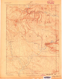
1885 · Ashley
USGS Topo · 1:250,000
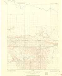
1907 · Rangely
USGS Topo · 1:125,000
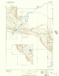
1907 · Jensen
USGS Topo · 1:125,000
1910 · Jensen
USGS Topo · 1:125,000
1910 · Rangely
USGS Topo · 1:125,000
1954 · Hells Canyon
USGS Topo · 1:24,000
1954 · Canyon of Lodore South
USGS Topo · 1:24,000

1954 · Vernal
USGS Topo · 1:250,000
1955 · Island Park
USGS Topo · 1:24,000
1955 · Stuntz Reservoir
USGS Topo · 1:24,000