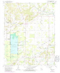
1963 Map of Sturdivant
USGS Topo · Published 1985About this map
The Castor River meanders through this low-lying landscape where Wayne, Bollinger, and Stoddard counties converge. This mid-century survey captures a transition in land use, showing the extensive Mingo National Wildlife Refuge and Duck Creek State Wildlife Management Area dominating the western half of the sheet. The terrain is defined by the contrast between the flat wetlands of the Swamp and prominent elevations like Fears Bluff and Snake Bluff.
Find a feature on this map
50 named features on this map. Tap any name to fly to it.
Don’t see what you’re looking for? This feature index may not catch every label — zoom into the map to look around manually.
Map Details
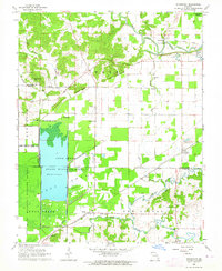
Editions of this 1963 Sturdivant Map
2 editions found
Other maps of this area

1934 · Bloomfield
USGS Topo · 1:62,500

1934 · Advance
USGS Topo · 1:62,500

1934 · Puxico
USGS Topo · 1:62,500

1935 · Zalma
USGS Topo · 1:62,500

1939 · Bloomfield
USGS Topo · 1:62,500

1939 · Advance
USGS Topo · 1:62,500

1939 · Puxico
USGS Topo · 1:62,500

1939 · Zalma
USGS Topo · 1:62,500

1949 · Paducah
USGS Topo · 1:250,000

1949 · Rolla
USGS Topo · 1:250,000