
2017 Map of Sublett Troughs
USGS Topo · Published 2017About this map
The Sublett Range dominates this portion of Idaho, characterized by a complex network of high-elevation canyons and vital water sources within the Sawtooth National Forest. Significant terrain features like Eyrie Peak and the namesake Sublett Troughs define the landscape, while the presence of numerous named water sources—such as Yellow Jacket Spring, Kossman Seep, and Wild Horse Spring—points to the critical importance of water management in this arid high-country environment. The man-made Pine Creek Reservoir sits at the base of several drainages, supporting the cattle ranching and wildlife that traverse Summit Springs Pass. A web of primitive roads, including Hartley Canyon Rd and Heydlauff Canyon Rd, provides the only access through this remote intersection of Power and Oneida counties.
Find a feature on this map
48 named features on this map. Tap any name to fly to it.
Don’t see what you’re looking for? This feature index may not catch every label — zoom into the map to look around manually.
Map Details
Editions of this 2017 Sublett Troughs Map
This is the sole edition of this map. No revisions or reprints were ever made.
Other maps of this area

1954 · Pocatello
USGS Topo · 1:250,000

1958 · Pocatello
USGS Topo · 1:250,000
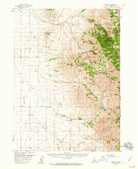
1958 · Sublett
USGS Topo · 1:62,500
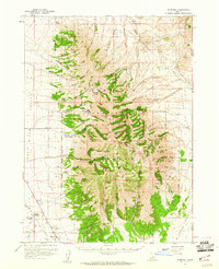
1959 · Strevell
USGS Topo · 1:62,500
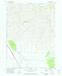
1973 · Juniper
USGS Topo · 1:24,000
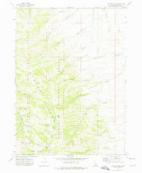
1973 · Hartley Peak
USGS Topo · 1:24,000
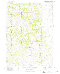
1973 · Sublett Troughs
USGS Topo · 1:24,000
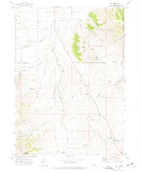
1973 · Roy
USGS Topo · 1:24,000
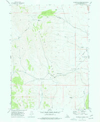
1973 · Badger Hole Spring
USGS Topo · 1:24,000
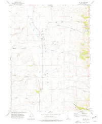
1973 · Roy NE
USGS Topo · 1:24,000