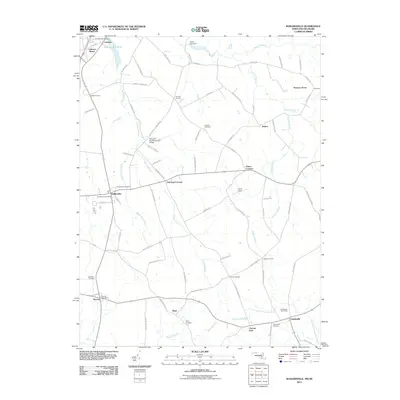
2011 Map of Sudlersville
USGS Topo · Published 2011About this map
The town of Sudlersville anchors this survey of northern Queen Anne’s County, showing the agricultural landscape near the Maryland-Delaware border. The topography is defined by the slow-moving drainage systems of Unicorn Branch and Andover Branch, which feed into landmarks such as Unicorn Mill Pond and Unicorn Lake. These water bodies and their associated dams, like the Unicorn Branch Dam, highlight the historical importance of local milling and water management in this rural corridor.
Find a feature on this map
77 named features on this map. Tap any name to fly to it.
Don’t see what you’re looking for? This feature index may not catch every label — zoom into the map to look around manually.
Map Details
Editions of this 2011 Sudlersville Map
This is the sole edition of this map. No revisions or reprints were ever made.
Other maps of this area

1899 · Dover
USGS Topo · 1:125,000

1900 · Cecilton
USGS Topo · 1:62,500

1905 · Barclay
USGS Topo · 1:62,500

1906 · Dover
USGS Topo · 1:125,000

1920 · Dover
USGS Topo · 1:125,000

1926 · Wyoming
USGS Topo · 1:48,000

1930 · Wyoming
USGS Topo · 1:62,500

1931 · Wyoming
USGS Topo · 1:62,500

1931 · Smyrna
USGS Topo · 1:62,500
1944 · Church Hill
USGS Topo · 1:31,680