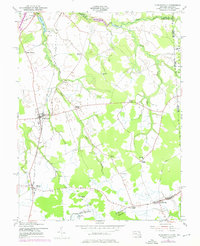
1953 Map of Sudlersville
USGS Topo · Published 1976About this map
Agricultural hamlets and crossroads define this portion of the Delmarva Peninsula, centered on the historic rail-and-road hub of Sudlersville. Following the cultural revision in the early 1950s, the landscape shows a dense network of country roads connecting community anchors such as Holdens Ch and Prices Chapel. The proximity of the Delaware border is marked by the Maryland Delaware boundary running along the eastern edge, passing near Pearsons Grove.
Find a feature on this map
37 named features on this map. Tap any name to fly to it.
Don’t see what you’re looking for? This feature index may not catch every label — zoom into the map to look around manually.
Map Details
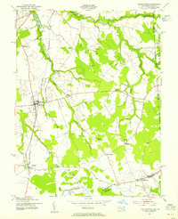
Editions of this 1953 Sudlersville Map
2 editions found
Other maps of this area

1899 · Dover
USGS Topo · 1:125,000

1900 · Cecilton
USGS Topo · 1:62,500

1905 · Barclay
USGS Topo · 1:62,500

1906 · Dover
USGS Topo · 1:125,000

1920 · Dover
USGS Topo · 1:125,000

1926 · Wyoming
USGS Topo · 1:48,000

1930 · Wyoming
USGS Topo · 1:62,500

1931 · Wyoming
USGS Topo · 1:62,500

1931 · Smyrna
USGS Topo · 1:62,500
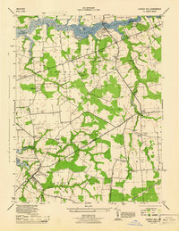
1944 · Church Hill
USGS Topo · 1:31,680