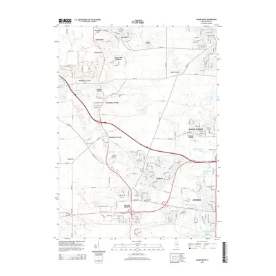
2015 Map of Sugar Grove
USGS Topo · Published 2015About this map
Sugar Grove and the western periphery of Aurora are depicted here as a landscape of established townships and modern expansion. The region is defined by the winding course of Blackberry Cr and the glacial topography of Johnsons Mound and Bald Mound. These high points overlook a mix of suburban neighborhoods like Prestbury and Blackberry Woods, while institutional anchors such as Waubonsee Community Coll and the Aurora Municipal Airport occupy significant acreage in the southwest.
Find a feature on this map
128 named features on this map. Tap any name to fly to it.
Don’t see what you’re looking for? This feature index may not catch every label — zoom into the map to look around manually.
Map Details
Editions of this 2015 Sugar Grove Map
This is the sole edition of this map. No revisions or reprints were ever made.
Other maps of this area

1925 · Yorkville
USGS Topo · 1:62,500

1932 · Geneva
USGS Topo · 1:62,500

1937 · Sycamore
USGS Topo · 1:62,500

1948 · Geneva
USGS Topo · 1:62,500

1948 · Sandwich
USGS Topo · 1:62,500

1949 · Geneva
USGS Topo · 1:24,000

1950 · Sandwich
USGS Topo · 1:62,500

1950 · Aurora North
USGS Topo · 1:24,000

1953 · Yorkville
USGS Topo · 1:24,000
1954 · Aurora South
USGS Topo · 1:24,000