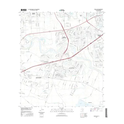
2016 Map of Sugar Land
USGS Topo · Published 2016About this map
The Brazos River winds through the heart of Fort Bend County, anchoring a landscape that bridges established municipalities and modern residential developments. To the north, the Sugar Land Regional Airport sits near the Pumpkin Lakes, while the eastern reach includes Sugar Land and its local water bodies like Cleveland Lake and Brooks Lake. The area's history is preserved in small burial grounds such as New Home Cem and Sandberry Cem, providing vital reference points for genealogists tracking local families.
Find a feature on this map
242 named features on this map. Tap any name to fly to it.
Don’t see what you’re looking for? This feature index may not catch every label — zoom into the map to look around manually.
Map Details
Editions of this 2016 Sugar Land Map
This is the sole edition of this map. No revisions or reprints were ever made.
Other maps of this area

1915 · Alief
USGS Topo · 1:24,000

1915 · Clodine
USGS Topo · 1:24,000

1919 · Clodine
USGS Topo · 1:31,680

1950 · Houston
USGS Topo · 1:250,000

1953 · Needville
USGS Topo · 1:24,000

1953 · Lake George
USGS Topo · 1:24,000

1953 · Thompsons
USGS Topo · 1:24,000

1955 · Sugar Land
USGS Topo · 1:62,500

1955 · Richmond
USGS Topo · 1:62,500

1956 · Houston
USGS Topo · 1:250,000