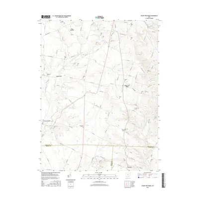
2016 Map of Sugar Tree Ridge
USGS Topo · Published 2016About this map
The agrarian landscape of southern Highland and Brown Counties is meticulously detailed here, centered on the community of Sugar Tree Ridge. The area is characterized by a dense network of family-named cemeteries and small rural settlements, reflecting generations of local heritage. To the northwest, Taylorsville sits near the headwaters of East Fork White Oak Creek, while Mowrystown occupies the southwestern corner near Plum Run.
Find a feature on this map
109 named features on this map. Tap any name to fly to it.
Don’t see what you’re looking for? This feature index may not catch every label — zoom into the map to look around manually.
Map Details
Editions of this 2016 Sugar Tree Ridge Map
This is the sole edition of this map. No revisions or reprints were ever made.
Other maps of this area

1917 · Hillsboro
USGS Topo · 1:62,500

1917 · Sardinia
USGS Topo · 1:62,500

1918 · Seaman
USGS Topo · 1:62,500

1928 · Higginsport
USGS Topo · 1:48,000

1931 · Higginsport
USGS Topo · 1:62,500

1944 · Hillsboro
USGS Topo · 1:62,500

1944 · Sardinia
USGS Topo · 1:62,500

1947 · Columbus
USGS Topo · 1:250,000

1957 · Huntington
USGS Topo · 1:250,000

1960 · Huntington
USGS Topo · 1:250,000