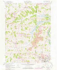
1961 Map of Sugarcreek
USGS Topo · Published 1978About this map
The hills of Holmes and Tuscarawas Counties reveal a landscape defined by traditional agrarian settlements and the expansion of surface mining in the early 1960s. Winesburg and Walnut Creek serve as central nodes for the surrounding countryside, which is densely dotted with family-named landmarks like Miller-Mast Cem and Hershberger Cem. These small cemeteries and rural institutions, including the Swiss Ch and Siding Hill Sch, reflect the deeply rooted community heritage of the Ohio Amish Country.
Find a feature on this map
42 named features on this map. Tap any name to fly to it.
Don’t see what you’re looking for? This feature index may not catch every label — zoom into the map to look around manually.
Map Details
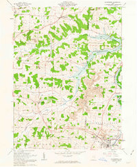
Editions of this 1961 Sugarcreek Map
2 editions found
Other maps of this area

1911 · Newcomerstown
USGS Topo · 1:62,500

1913 · Newcomerstown
USGS Topo · 1:62,500

1913 · Coshocton
USGS Topo · 1:62,500

1914 · Navarre
USGS Topo · 1:62,500

1915 · Millersburg
USGS Topo · 1:62,500

1915 · Coshocton
USGS Topo · 1:62,500

1943 · Millersburg
USGS Topo · 1:62,500

1943 · Coshocton
USGS Topo · 1:62,500

1943 · Newcomerstown
USGS Topo · 1:62,500

1944 · Navarre
USGS Topo · 1:62,500