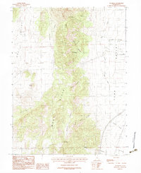
1983 Map of Sugarloaf
USGS Topo · Published 1983About this map
West Hills and the prominent Long Ridge define the rugged topography of this central Utah landscape as it appeared in the early 1980s. The terrain is deeply incised by numerous drainages, including Cazier Canyon, Government Canyon, and Hall Canyon, which descend toward the agricultural basins of Juab Valley to the east and Dog Valley to the west. This provisional survey captures the vital water sources that sustain this arid environment, specifically Government Spring and Orme Spring. The map documents the intricate network of unimproved roads and trails that traverse the ridges, connecting points like Sugarloaf to the surrounding lowlands. The presence of Levan Ridge in the south and the winding course of West Creek illustrate the natural corridors used for movement between the high desert hills and the valley floors during this era of rural land management.
Find a feature on this map
20 named features on this map. Tap any name to fly to it.
Don’t see what you’re looking for? This feature index may not catch every label — zoom into the map to look around manually.
Map Details
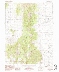
Editions of this 1983 Sugarloaf Map
2 editions found
Other maps of this area

1885 · Manti
USGS Topo · 1:250,000

1885 · Sevier Desert
USGS Topo · 1:250,000

1895 · Manti
USGS Topo · 1:250,000

1951 · Santaquin
USGS Topo · 1:62,500

1951 · Nephi
USGS Topo · 1:62,500

1953 · Delta
USGS Topo · 1:250,000

1954 · Tintic Mountain
USGS Topo · 1:24,000

1956 · Price
USGS Topo · 1:250,000

1958 · Delta
USGS Topo · 1:250,000

1960 · Price
USGS Topo · 1:250,000