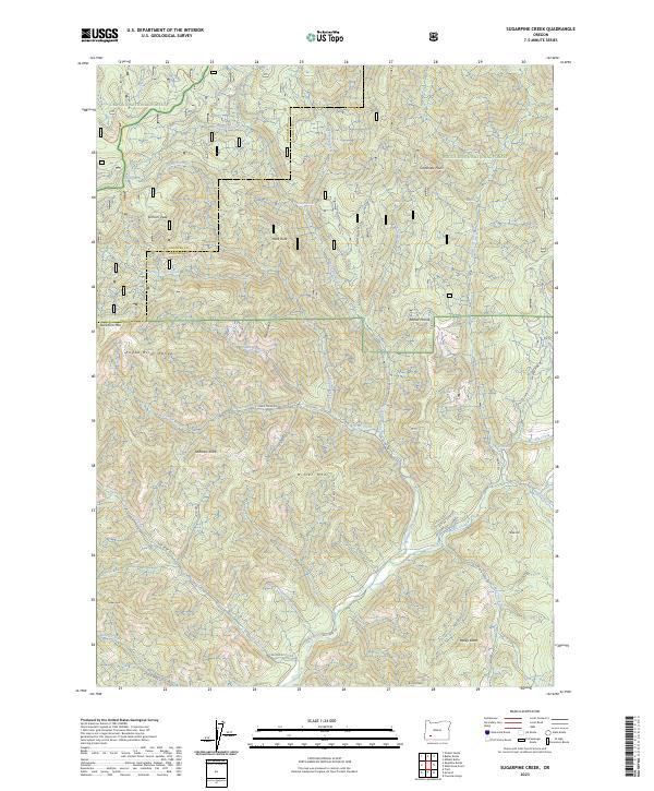
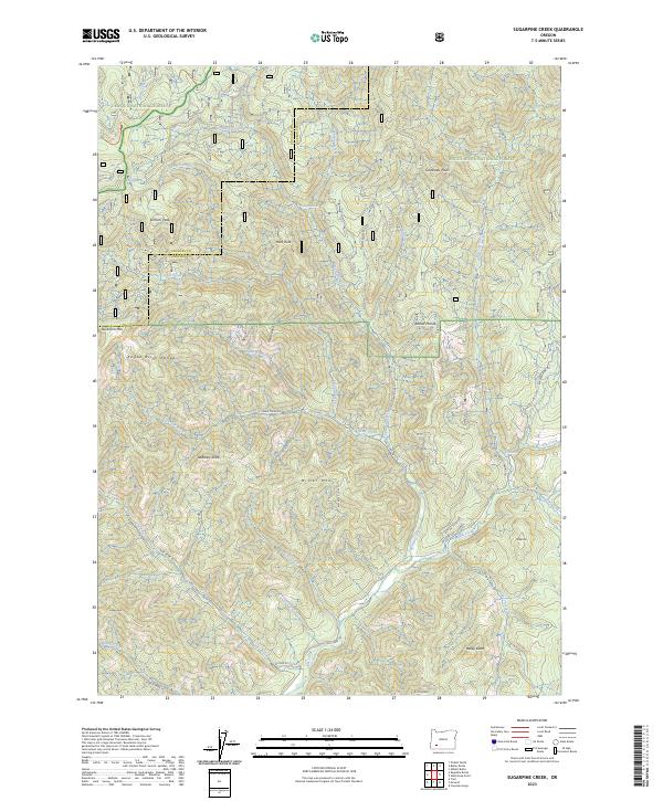
2023 Map of Sugarpine Creek
USGS Topo · Published 2023About this map
Umpqua National Forest and Rogue River National Forest dominate this high-elevation terrain where Douglas and Jackson counties meet. The landscape is defined by the protected corridor of the Elk Creek Wild and Scenic River, which draws tributaries like Sugarpine Creek and Bitter Lick Creek through deep drainages. Significant summits including Elkhorn Peak and Miller Mtn overlook a network of specialized access routes such as Buzzard Mine Rd and Flat Creek Rd. The presence of Abbott Prairie and Hells Island suggests a complex topography of open high-ground flats and isolated ridges. Geologic landmarks such as Heck Rock and Finger Rock further characterize this wilderness area, while named spots like Gobblers Knob and Mule Hill reflect a local history of land usage and navigation in the southern Oregon mountains.
Find a feature on this map
48 named features on this map. Tap any name to fly to it.
Don’t see what you’re looking for? This feature index may not catch every label — zoom into the map to look around manually.
Map Details
Editions of this 2023 Sugarpine Creek Map
2 editions found
Other maps of this area

1891 · Ashland
USGS Topo · 1:250,000

1893 · Ashland
USGS Topo · 1:250,000

1897 · Ashland
USGS Topo · 1:250,000

1943 · Trail
USGS Topo · 1:62,500

1944 · Tiller
USGS Topo · 1:62,500

1944 · Abbott Butte
USGS Topo · 1:62,500

1947 · Abbott Butte
USGS Topo · 1:62,500

1954 · Butte Falls
USGS Topo · 1:62,500

1955 · Medford
USGS Topo · 1:250,000

1957 · Medford
USGS Topo · 1:250,000