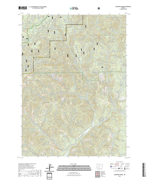
2023 Map of Sugarpine Creek
USGS Topo · Published 2023About this map
Umpqua National Forest and Rogue River National Forest meet in this high-elevation corridor of the Rogue River Range. The landscape is defined by its complex hydrology and dramatic terrain, where peaks like Buckhorn Mtn and Elkhorn Peak overlook a network of lick-fed creeks and gulches. A notable geographical feature is the Elk Creek Wild and Scenic River, which flows through the southern portion of the quadrangle. The survey reveals a history of land management and extraction, evidenced by the intricate system of access roads such as Buzzard Mine Rd and Sugar Pine Rd that navigate between landmarks like Abbott Prairie and Heck Rock. This documentation captures the area's transition between the drainage basins of Elkhorn Creek and the namesake Sugarpine Creek.
Find a feature on this map
52 named features on this map. Tap any name to fly to it.
Don’t see what you’re looking for? This feature index may not catch every label — zoom into the map to look around manually.
Map Details
Editions of this 2023 Sugarpine Creek Map
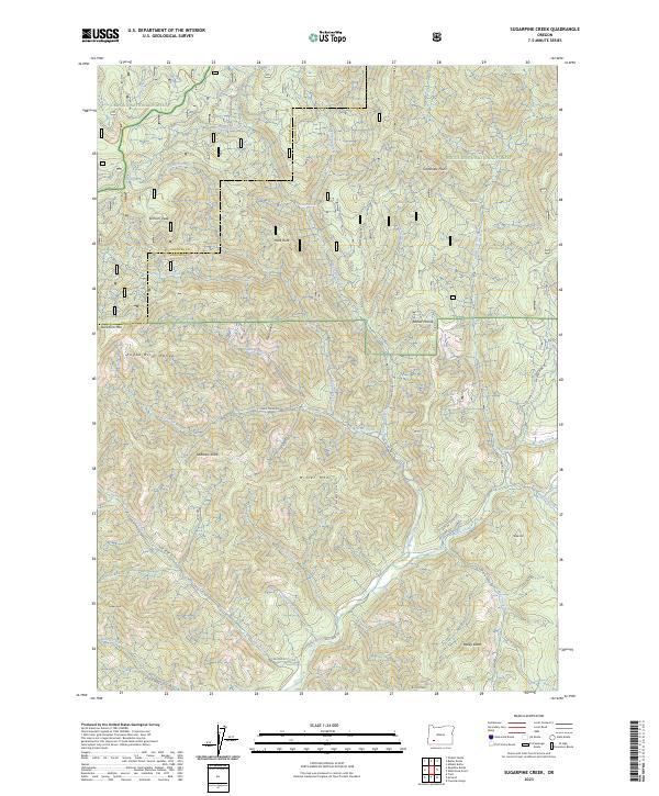
2 editions found
Other maps of this area

1891 · Ashland
USGS Topo · 1:250,000

1893 · Ashland
USGS Topo · 1:250,000

1897 · Ashland
USGS Topo · 1:250,000

1943 · Trail
USGS Topo · 1:62,500

1944 · Tiller
USGS Topo · 1:62,500

1944 · Abbott Butte
USGS Topo · 1:62,500

1947 · Abbott Butte
USGS Topo · 1:62,500

1954 · Butte Falls
USGS Topo · 1:62,500

1955 · Medford
USGS Topo · 1:250,000

1957 · Medford
USGS Topo · 1:250,000