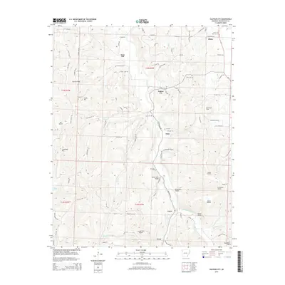
2014 Map of Sulphur City
USGS Topo · Published 2014About this map
Sulphur City serves as a central point in this part of Washington County, where the terrain is defined by a complex network of hollows and ridges. The Middle Fork White River winds through the southeastern section, fed by numerous tributaries such as John Turner Fork and Hannah Br. This landscape, characterized by features like Lutman Hollow and Parricks Ridge, has fostered a scattered settlement pattern of small communities including Elkins, Hicks, and Wyola.
Find a feature on this map
88 named features on this map. Tap any name to fly to it.
Don’t see what you’re looking for? This feature index may not catch every label — zoom into the map to look around manually.
Map Details
Editions of this 2014 Sulphur City Map
This is the sole edition of this map. No revisions or reprints were ever made.
Other maps of this area

1898 · Winslow
USGS Topo · 1:125,000

1899 · Fayetteville
USGS Topo · 1:125,000

1900 · Eureka Springs
USGS Topo · 1:125,000

1901 · Winslow
USGS Topo · 1:125,000

1901 · Eureka Springs
USGS Topo · 1:125,000

1901 · Fayetteville
USGS Topo · 1:125,000

1904 · Fayetteville
USGS Topo · 1:125,000

1943 · St. Paul
USGS Topo · 1:62,500

1945 · Harrison
USGS Topo · 1:250,000

1946 · St. Paul
USGS Topo · 1:62,500