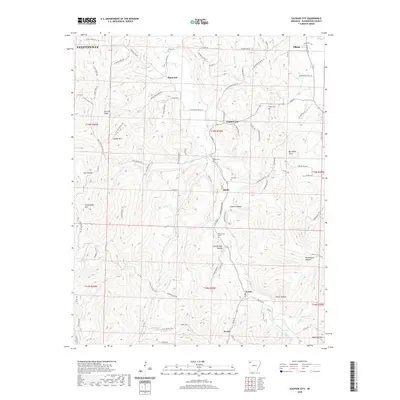
2020 Map of Sulphur City
USGS Topo · Published 2020About this map
Sulphur City and the surrounding Washington County landscape are defined by the winding course of the Middle Fork White River and its numerous tributaries. This area, situated southeast of Fayetteville, maintains a rural character with small, long-established communities like Black Oak, Hicks, Arnett, and Wyola dotting the terrain. The map is a vital resource for local history and genealogy, noting several community landmarks such as Kings Cem, Salem Cem, and Reese Cem.
Find a feature on this map
103 named features on this map. Tap any name to fly to it.
Don’t see what you’re looking for? This feature index may not catch every label — zoom into the map to look around manually.
Map Details
Editions of this 2020 Sulphur City Map
This is the sole edition of this map. No revisions or reprints were ever made.
Other maps of this area

1898 · Winslow
USGS Topo · 1:125,000

1899 · Fayetteville
USGS Topo · 1:125,000

1900 · Eureka Springs
USGS Topo · 1:125,000

1901 · Winslow
USGS Topo · 1:125,000

1901 · Eureka Springs
USGS Topo · 1:125,000

1901 · Fayetteville
USGS Topo · 1:125,000

1904 · Fayetteville
USGS Topo · 1:125,000

1943 · St. Paul
USGS Topo · 1:62,500

1945 · Harrison
USGS Topo · 1:250,000

1946 · St. Paul
USGS Topo · 1:62,500