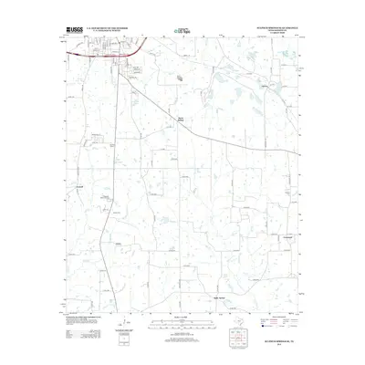
2012 Map of Sulphur Springs SE
USGS Topo · Published 2012About this map
Martin Springs and Reilly Springs anchor this portion of Hopkins County, where the landscape is defined by a dense network of creek branches and small, industrial water bodies. In the northeastern corner, the settlement of Thermo is situated near Crush Lake and Berry Lake, highlighting the local importance of water management and extraction. The map details a transition from the structured residential blocks of southeastern Sulphur Springs, seen through streets like Radio Rd and Industrial Dr E, to the more dispersed rural communities of Greenpond and Tazewell. Numerous family-named cemeteries such as Melton Cem and Gamblin Cem, alongside Shooks Chapel, offer significant points of interest for genealogists tracing family roots in this part of Texas. Drainage patterns from Running Cr and Rock Cr illustrate the natural topography that has influenced the placement of farms and homesteads across the county.
Find a feature on this map
100 named features on this map. Tap any name to fly to it.
Don’t see what you’re looking for? This feature index may not catch every label — zoom into the map to look around manually.
Map Details
Editions of this 2012 Sulphur Springs SE Map
This is the sole edition of this map. No revisions or reprints were ever made.
Other maps of this area

1953 · Texarkana
USGS Topo · 1:250,000

1956 · Texarkana
USGS Topo · 1:250,000

1956 · Tyler
USGS Topo · 1:250,000

1958 · Arbala
USGS Topo · 1:24,000

1959 · Yantis
USGS Topo · 1:24,000

1959 · Alba
USGS Topo · 1:62,500

1960 · Pleasant Grove
USGS Topo · 1:24,000

1962 · Brashear
USGS Topo · 1:24,000

1964 · Como
USGS Topo · 1:24,000

1964 · Sulphur Springs
USGS Topo · 1:24,000