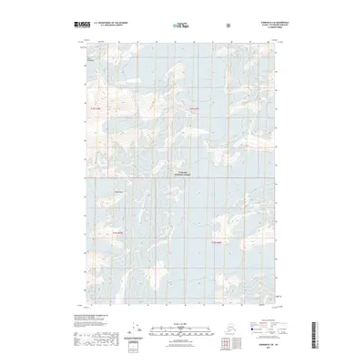
2021 Map of Sumdum B-3 SE
USGS Topo · Published 2021About this map
Tongass National Forest encompasses the massive glaciated terrain of the Coast Mountains in this high-altitude landscape. The map reveals the intricate drainage patterns and ice fields of the Dawes Glacier and the North Baird Glacier, illustrating the dynamic frozen environment of Southeast Alaska. Aside from the massive ice sheets, distinct landmarks like Hump Knoll rise above the surrounding ice and rock. This 2021 study documents the contemporary state of these glacial systems, providing a precise topographic view of the sheer elevations and the boundaries of the forest as they existed at the start of the 2020s. The lack of settlements or roads underscores the wilderness character of this remote borough.
Find a feature on this map
9 named features on this map. Tap any name to fly to it.
Don’t see what you’re looking for? This feature index may not catch every label — zoom into the map to look around manually.
Map Details
Editions of this 2021 Sumdum B-3 SE Map
This is the sole edition of this map. No revisions or reprints were ever made.
Other maps of this area

1952 · Sumdum
USGS Topo · 1:250,000

1961 · Sumdum A-2
USGS Topo · 1:63,360

1961 · Sumdum B-2
USGS Topo · 1:63,360

1961 · Sumdum A-3
USGS Topo · 1:63,360

1961 · Sumdum B-3
USGS Topo · 1:63,360

1961 · Sumdum
USGS Topo · 1:250,000

1996 · Sumdum B-3
USGS Topo · 1:63,360

2000 · Sumdum A-2
USGS Topo · 1:63,360

2000 · Sumdum B-2
USGS Topo · 1:63,360
2018 · Sumdum B-2 SW
USGS Topo · 1:25,000