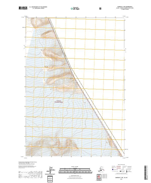
2021 Map of Sumdum C-3 NE
USGS Topo · Published 2021About this map
South Sawyer Glacier dominates the northern corner of this landscape, its ice mass situated within the extensive Tongass National Forest. The map is characterized by its location along the international border between Canada and the United States of America, where the high-altitude terrain is marked by Boundary Peak 76. This specific section of the Hoonah-Angoon Census Area highlights the intersection of surveying townships including t47s r78e, t48s r78e, and t49s r79e against the jagged diagonal of the national boundary. The absence of roads or established settlements reflects the extreme isolation of this glaciated environment, where topography is defined by ice and elevation rather than human infrastructure.
Find a feature on this map
8 named features on this map. Tap any name to fly to it.
Don’t see what you’re looking for? This feature index may not catch every label — zoom into the map to look around manually.
Map Details
Editions of this 2021 Sumdum C-3 NE Map
This is the sole edition of this map. No revisions or reprints were ever made.
Other maps of this area

1952 · Sumdum
USGS Topo · 1:250,000

1961 · Sumdum D-3
USGS Topo · 1:63,360

1961 · Sumdum C-3
USGS Topo · 1:63,360
1961 · Sumdum C-2
USGS Topo · 1:63,360

1961 · Sumdum
USGS Topo · 1:250,000

2000 · Sumdum C-3
USGS Topo · 1:63,360
2018 · Sumdum C-3 NE
USGS Topo · 1:25,000
2018 · Sumdum C-2 SW
USGS Topo · 1:25,000
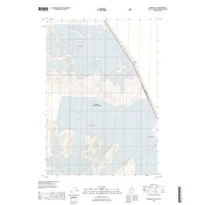
2018 · Sumdum D-3 SW
USGS Topo · 1:25,000
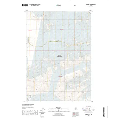
2018 · Sumdum C-3 SE
USGS Topo · 1:25,000