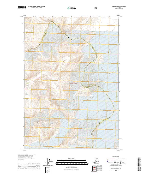
2021 Map of Sumdum C-3 NW
USGS Topo · Published 2021About this map
Tongass National Forest dominates this high-altitude landscape in Southeast Alaska, where deep glacial-carved terrain meets complex administrative boundaries. This survey documents a critical junction point where the Hoonah-Angoon Census Area and Petersburg Borough meet, tracing a line across the wilderness. The lack of named roads or settlements highlights the isolation of this part of the Alexander Archipelago, where the natural contours of the land dictate the limits of human activity. Grid lines from the Public Land Survey System, including t48s r77e and t48s r78e, provide a framework for navigating this heavily glaciated and largely trackless region, offering researchers a detailed look at the geographical division of these Alaskan administrative districts at the start of the 2020s.
Find a feature on this map
9 named features on this map. Tap any name to fly to it.
Don’t see what you’re looking for? This feature index may not catch every label — zoom into the map to look around manually.
Map Details
Editions of this 2021 Sumdum C-3 NW Map
This is the sole edition of this map. No revisions or reprints were ever made.
Other maps of this area

1952 · Sumdum
USGS Topo · 1:250,000

1960 · Sumdum D-4
USGS Topo · 1:63,360

1961 · Sumdum D-3
USGS Topo · 1:63,360

1961 · Sumdum C-3
USGS Topo · 1:63,360

1961 · Sumdum C-4
USGS Topo · 1:63,360

1961 · Sumdum
USGS Topo · 1:250,000
1994 · Sumdum D-4
USGS Topo · 1:63,360

2000 · Sumdum C-3
USGS Topo · 1:63,360
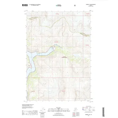
2017 · Sumdum C-4 NE
USGS Topo · 1:25,000
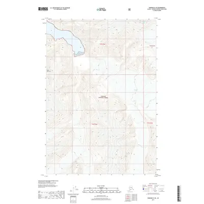
2017 · Sumdum D-4 SE
USGS Topo · 1:25,000