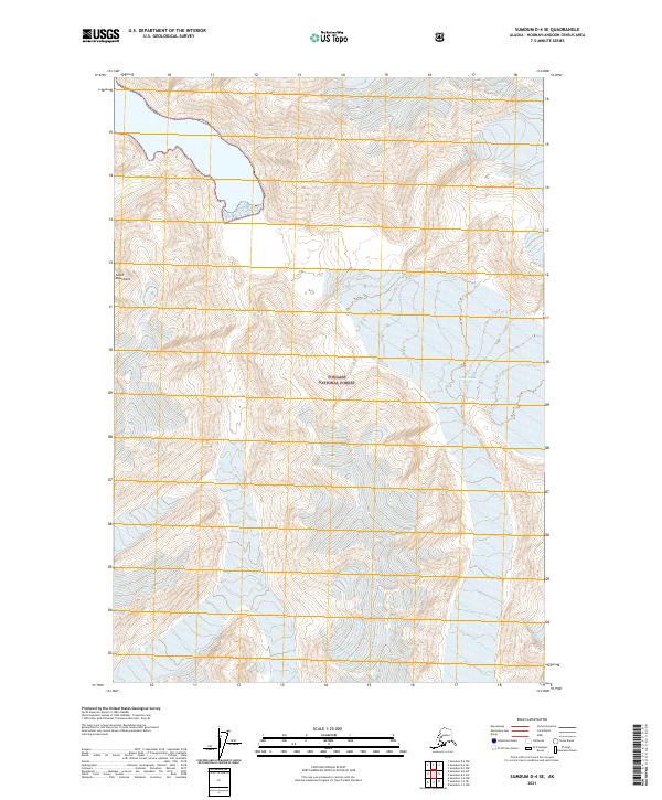
2021 Map of Sumdum D-4 SE
USGS Topo · Published 2021About this map
The South Sawyer Glacier dominates the northwestern portion of this 2021 topographic survey, where its icy tongue pushes through the Coast Mountains. This high-altitude landscape is almost entirely defined by the boundaries of the Tongass National Forest, illustrating the sheer scale of federal land management in the Alaskan panhandle. The terrain is a complex arrangement of sharp ridgelines and steep glacial valleys, where contour lines crowd closely together to indicate extreme vertical relief. This particular sheet captures the glacial environment at a specific modern moment, recording the extent of the ice and the surrounding topography within the surveyed townships of t46s r76e and t47s r76e.
Find a feature on this map
7 named features on this map. Tap any name to fly to it.
Don’t see what you’re looking for? This feature index may not catch every label — zoom into the map to look around manually.
Map Details
Editions of this 2021 Sumdum D-4 SE Map
This is the sole edition of this map. No revisions or reprints were ever made.
Other maps of this area

1952 · Sumdum
USGS Topo · 1:250,000

1960 · Sumdum D-4
USGS Topo · 1:63,360

1961 · Sumdum D-3
USGS Topo · 1:63,360

1961 · Sumdum C-3
USGS Topo · 1:63,360

1961 · Sumdum C-4
USGS Topo · 1:63,360

1961 · Sumdum
USGS Topo · 1:250,000
1994 · Sumdum D-4
USGS Topo · 1:63,360

2000 · Sumdum C-3
USGS Topo · 1:63,360
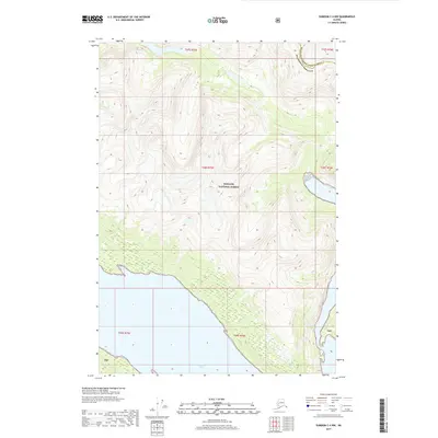
2017 · Sumdum C-4 NW
USGS Topo · 1:25,000
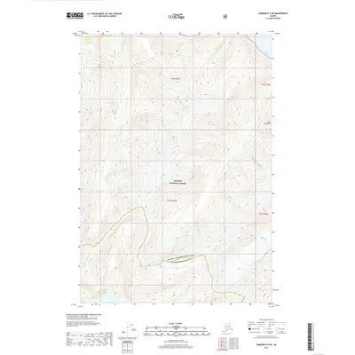
2017 · Sumdum D-4 SW
USGS Topo · 1:25,000