
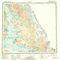
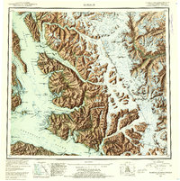
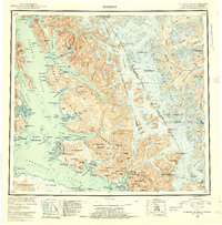
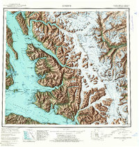
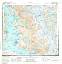
1952 Map of Sumdum
USGS Topo · Published 1953About this map
Glacial fjords and industrial outposts define this coastal section of the Tongass National Forest in the early 1950s. The landscape is dominated by massive ice flows like Baird Glacier and Dawes Glacier, which feed into the deep waters of Tracy Arm and Endicott Arm. These waterways provided the primary access to remote settlements and extractive sites during this era of Alaskan development.
Find a feature on this map
108 named features on this map. Tap any name to fly to it.
Don’t see what you’re looking for? This feature index may not catch every label — zoom into the map to look around manually.
Map Details
Editions of this 1952 Sumdum Map
6 editions found
Other maps of this area

1943 · Sumdum B-4
USGS Topo · 1:63,360

1948 · Sitka D-1
USGS Topo · 1:63,360

1948 · Sitka B-1
USGS Topo · 1:63,360

1948 · Sumdum A-4
USGS Topo · 1:63,360

1948 · Sitka C-1
USGS Topo · 1:63,360

1948 · Sumdum D-6
USGS Topo · 1:63,360

1948 · Sumdum A-5
USGS Topo · 1:63,360

1948 · Sumdum C-5
USGS Topo · 1:63,360

1948 · Sumdum A-6
USGS Topo · 1:63,360

1948 · Sumdum B-6
USGS Topo · 1:63,360