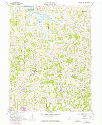
1961 Map of Summerfield
USGS Topo · Published 1978About this map
The village of Summerfield serves as a central hub in this Appalachian landscape, where the ridges of Barnes Ridge and Lexington Ridge separate narrow valley settlements. The industrial character of the 1960s is evident in the numerous Oil Wells and Gas Wells dotting the hillsides, alongside active Strip Mines and a Quarry. This 1976 revision captures the growth of energy infrastructure, including the Berne Compressor Station Substation and several cross-country Pipelines.
Find a feature on this map
62 named features on this map. Tap any name to fly to it.
Don’t see what you’re looking for? This feature index may not catch every label — zoom into the map to look around manually.
Map Details
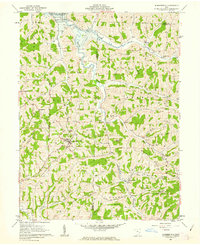
Editions of this 1961 Summerfield Map
2 editions found
Other maps of this area

1903 · Macksburg
USGS Topo · 1:62,500

1905 · New Matamoras
USGS Topo · 1:62,500

1905 · Woodsfield
USGS Topo · 1:62,500

1905 · Macksburg
USGS Topo · 1:62,500

1909 · Summerfield
USGS Topo · 1:62,500

1911 · Summerfield
USGS Topo · 1:62,500

1924 · New Matamoras
USGS Topo · 1:62,500

1926 · New Matamoras
USGS Topo · 1:62,500

1949 · Clarksburg
USGS Topo · 1:250,000

1956 · Clarksburg
USGS Topo · 1:250,000