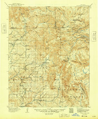
1915 Map of Summitville
USGS Topo · Published 1949About this map
The Continental Divide winds through this high-altitude landscape of the San Juan Mountains, where early 20th-century mining activity and ranching outposts define the rugged interior. Significant mining operations are centered near the settlement of Summitville, including the Asiatic Mine and the evocatively named Pass-Me-By Mine. These sites sit alongside the headwaters of the Alamosa River, highlighting the era's dependence on mountain water for processing ore.
Find a feature on this map
86 named features on this map. Tap any name to fly to it.
Don’t see what you’re looking for? This feature index may not catch every label — zoom into the map to look around manually.
Map Details
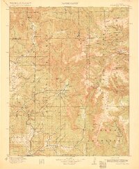
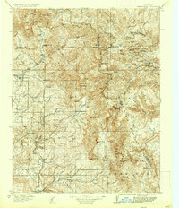
Editions of this 1915 Summitville Map
4 editions found
Other maps of this area

1889 · Largo
USGS Topo · 1:250,000

1895 · Largo
USGS Topo · 1:250,000

1905 · San Cristobal
USGS Topo · 1:125,000

1907 · San Cristobal
USGS Topo · 1:125,000

1913 · Summitville
USGS Topo · 1:125,000

1914 · Creede
USGS Topo · 1:125,000

1915 · Summitville
USGS Topo · 1:125,000

1915 · Del Norte
USGS Topo · 1:125,000

1916 · Creede
USGS Topo · 1:125,000

1917 · Del Norte
USGS Topo · 1:125,000