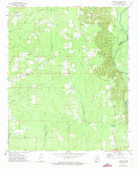
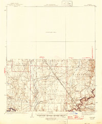
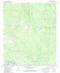
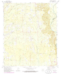
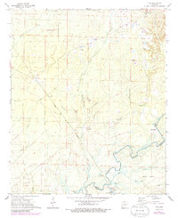
1971 Map of Sumpter
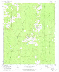
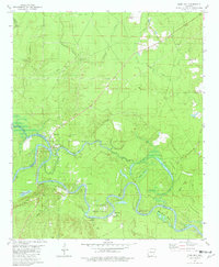
USGS Topo · Published 1973This historical map portrays the area of Sumpter in 1971, primarily covering Bradley County as well as portions of Drew County. Featuring a scale of 1:24000, this map provides a highly detailed snapshot of the terrain, roads, buildings, counties, and historical landmarks in the Sumpter region at the time. Published in 1973, it is one of 2 known editions of this map due to revisions or reprints.
Find a feature on this map
21 named features on this map. Tap any name to fly to it.
Don’t see what you’re looking for? This feature index may not catch every label — zoom into the map to look around manually.
Map Details
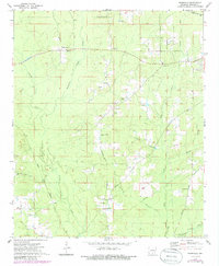
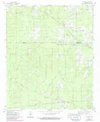
Editions of this 1971 Sumpter Map
2 editions found
Historical Maps of Mount Olive Through Time
11 maps found

1934 Ingalls
Bradley County, AR
1937 Ingalls
Bradley County, AR

1939 Ingalls
Bradley County, AR
1971 Marsden
Bradley County, AR
1971 Sumpter
Bradley County, AR
1971 Vick
Bradley County, AR
1973 Farmville
Bradley County, AR
1973 Mc Kinney
Bradley County, AR
1973 Warren NE
Bradley County, AR
1981 Jersey
Bradley County, AR
1981 Moro Bay
Bradley County, AR