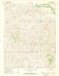
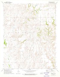
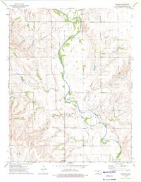
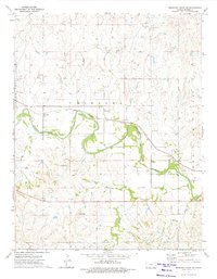
1968 Map of Sun City SW
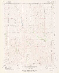
USGS Topo · Published 1969This historical map portrays the area of Sun City SW in 1968, primarily covering Barber County. Featuring a scale of 1:24000, this map provides a highly detailed snapshot of the terrain, roads, buildings, counties, and historical landmarks in the Sun City SW region at the time. Published in 1969, it is one of 2 known editions of this map due to revisions or reprints.
Find a feature on this map
24 named features on this map. Tap any name to fly to it.
Don’t see what you’re looking for? This feature index may not catch every label — zoom into the map to look around manually.
Map Details
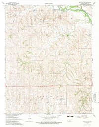
Editions of this 1968 Sun City SW Map
2 editions found
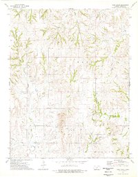
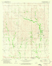
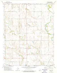
Historical Maps of Barber County Through Time
12 maps found
1968 Sun City SW
Barber County, KS
1972 Sharon South
Barber County, KS
1973 Aetna
Barber County, KS
1973 Deerhead
Barber County, KS
1973 Gerlane
Barber County, KS
1973 Hackberry Creek
Barber County, KS
1973 Hardtner NW
Barber County, KS
1973 Medicine Lodge SW
Barber County, KS
1973 Pump Creek
Barber County, KS
1973 Sharon North
Barber County, KS
1973 Stubbs
Barber County, KS
1973 Sun City NE
Barber County, KS