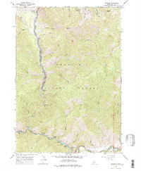
1964 Map of Sunbeam
USGS Topo · Published 1978About this map
Bonanza stands as a focal point of this mid-century survey, situated near the confluence of the West Fork Yankee Fork and the main Yankee Fork. The landscape is defined by its mining history and the recreational utility of the Challis National Forest, where numerous sites like the Flat Rock Campground and Dutchman Flat Campground line the riverbanks. The presence of the Lucky Boy Mine and various other unnamed Mines suggests the area's continued reliance on mineral extraction alongside burgeoning forest management, represented by the Bonanza Guard Station. To the south, the Salmon River cuts through the terrain, passing through Indian Riffles and by the Sunbeam Hot Springs. This map effectively documents the transition from a remote mining district to a regulated national forest, preserving locations like Preachers Cove and several small cemeteries that speak to the region's earlier settlement period.
Find a feature on this map
47 named features on this map. Tap any name to fly to it.
Don’t see what you’re looking for? This feature index may not catch every label — zoom into the map to look around manually.
Map Details
Editions of this 1964 Sunbeam Map
3 editions found
Other maps of this area

1919 · Custer
USGS Topo · 1:125,000

1922 · Custer
USGS Topo · 1:125,000

1957 · Challis
USGS Topo · 1:250,000

1960 · Challis
USGS Topo · 1:250,000

1963 · Challis
USGS Topo · 1:250,000

1963 · Custer
USGS Topo · 1:24,000
1963 · Elevenmile Creek
USGS Topo · 1:24,000

1963 · Casino Lakes
USGS Topo · 1:24,000
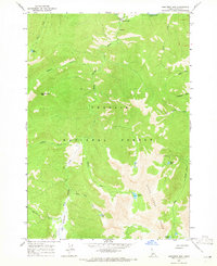
1964 · Robinson Bar
USGS Topo · 1:24,000
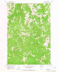
1964 · Mt Jordan
USGS Topo · 1:24,000