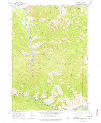
1964 Map of Sunbeam
USGS Topo · Published 1978About this map
Lucky Boy Mine and a network of Mines overlook the high country of Challis National Forest, marking a landscape defined by the extraction of mineral wealth. The settlement of Bonanza sits along the Yankee Fork, where extensive Dredge Tailings track the path of heavy industrial gold dredging through the valley floor. This 1964 field-checked survey captures the area before modern reclamation, showing the raw impact of mining on the river's course near Preachers Cove.
Find a feature on this map
48 named features on this map. Tap any name to fly to it.
Don’t see what you’re looking for? This feature index may not catch every label — zoom into the map to look around manually.
Map Details
Editions of this 1964 Sunbeam Map
3 editions found
Other maps of this area

1919 · Custer
USGS Topo · 1:125,000

1922 · Custer
USGS Topo · 1:125,000

1957 · Challis
USGS Topo · 1:250,000

1960 · Challis
USGS Topo · 1:250,000

1963 · Challis
USGS Topo · 1:250,000

1963 · Custer
USGS Topo · 1:24,000
1963 · Elevenmile Creek
USGS Topo · 1:24,000

1963 · Casino Lakes
USGS Topo · 1:24,000
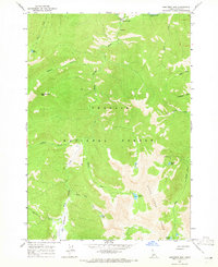
1964 · Robinson Bar
USGS Topo · 1:24,000
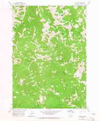
1964 · Mt Jordan
USGS Topo · 1:24,000