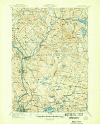
1921 Map of Suncook
USGS Topo · Published 1947About this map
The Suncook River and Merrimack River converge near the industrial hub of Suncook, defining a landscape where early 20th-century transportation and local industry meet. This 1917 and 1919 survey, reprinted in 1947, details the transition from riverside mills to the rugged uplands of Nottingham Mountain and Fort Mtn. The Boston and Maine Railroad follows the river valleys, connecting major settlements like Hooksett and Manchester to the surrounding hills.
Find a feature on this map
156 named features on this map. Tap any name to fly to it.
Don’t see what you’re looking for? This feature index may not catch every label — zoom into the map to look around manually.
Map Details
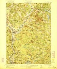
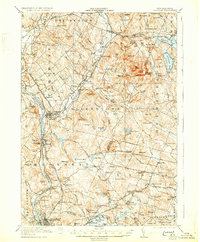
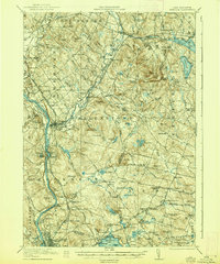
Editions of this 1921 Suncook Map
5 editions found
Other maps of this area

1888 · Haverhill
USGS Topo · 1:62,500

1890 · Haverhill
USGS Topo · 1:62,500

1893 · Haverhill
USGS Topo · 1:62,500

1905 · Manchester
USGS Topo · 1:62,500

1906 · Milford
USGS Topo · 1:62,500

1917 · Mt. Pawtuckaway
USGS Topo · 1:62,500

1919 · Mt. Pawtuckaway
USGS Topo · 1:62,500

1919 · Gilmanton
USGS Topo · 1:62,500

1919 · Alton
USGS Topo · 1:62,500

1921 · Suncook
USGS Topo · 1:62,500