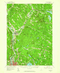
1957 Map of Suncook
USGS Topo · Published 1959About this map
The Merrimack River corridor defines this mid-century landscape, serving as the industrial and transportation spine for the region. The village of Suncook sits at the confluence of the Suncook River and the Merrimack, a high-density cluster of development characterized by its position near Steeles Falls and the Boston and Maine railroad line. To the west, Hooksett and South Hooksett flank the river, with the landmark Mt St Mary College and Hooksett Dam anchoring the local geography.
Find a feature on this map
112 named features on this map. Tap any name to fly to it.
Don’t see what you’re looking for? This feature index may not catch every label — zoom into the map to look around manually.
Map Details
Editions of this 1957 Suncook Map
4 editions found
Other maps of this area

1888 · Haverhill
USGS Topo · 1:62,500

1890 · Haverhill
USGS Topo · 1:62,500

1893 · Haverhill
USGS Topo · 1:62,500

1905 · Manchester
USGS Topo · 1:62,500

1906 · Milford
USGS Topo · 1:62,500

1917 · Mt. Pawtuckaway
USGS Topo · 1:62,500

1919 · Mt. Pawtuckaway
USGS Topo · 1:62,500

1919 · Gilmanton
USGS Topo · 1:62,500

1919 · Alton
USGS Topo · 1:62,500

1921 · Suncook
USGS Topo · 1:62,500